Open-source · Browser-based · HTML/JS

Cosy
Flight

No objectives. No score. Just the open sky and the earth scrolling beneath you. Pick a runway and land, trace a river, draw shapes in the clouds — or simply fly.

Take off
cosyflight.rawairplanes.com
Cosy Flight screenshot

A flight simulator with no destination, no score, and no stress.

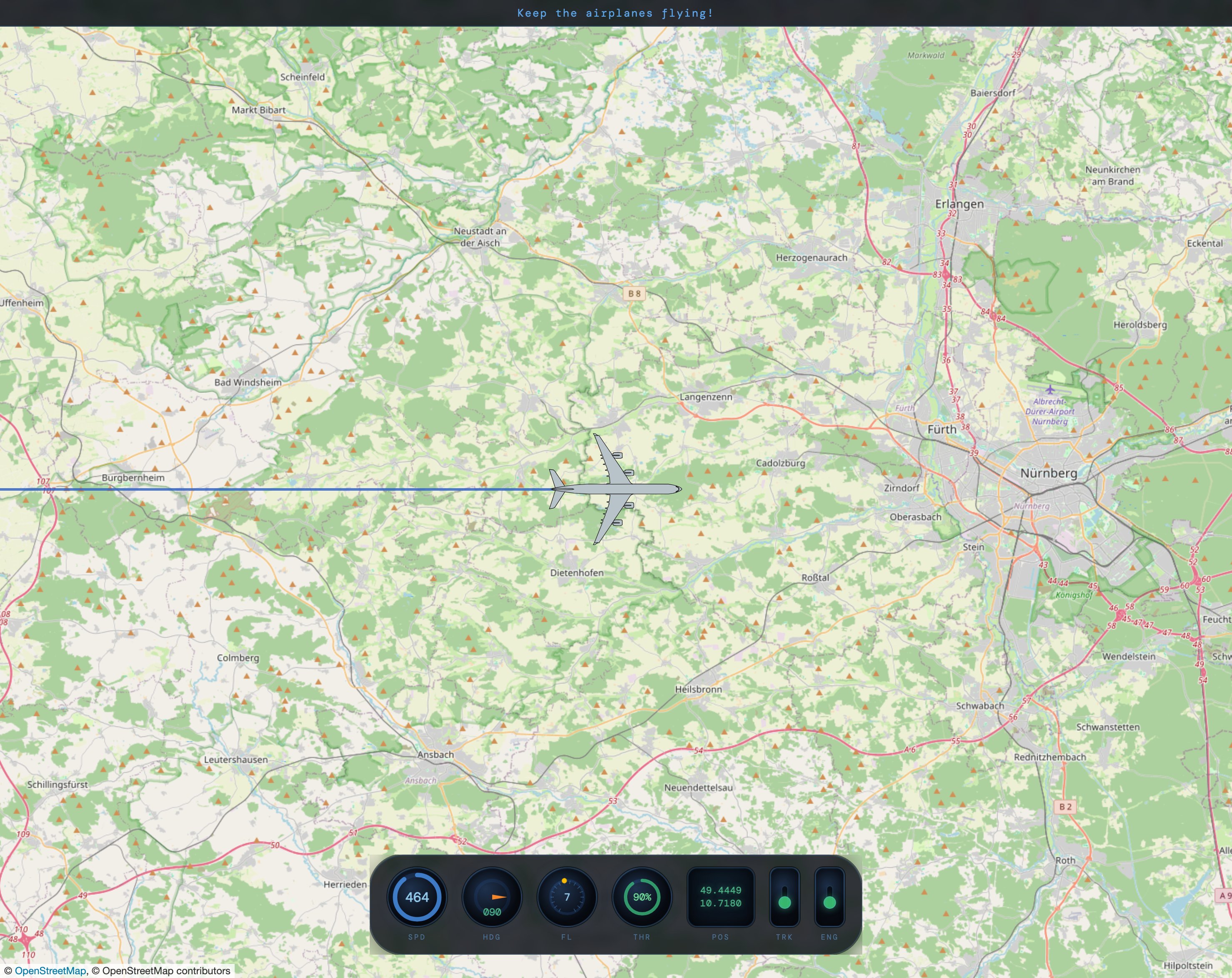
Cosy Flight is a simple browser game where you pilot a plane over real OpenStreetMap geography. Throttle up, pick a heading, and go wherever the world takes you. The instrument panel shows your speed, heading, flight level, throttle, and position — nothing more than you need.

Try aligning with a runway and stopping before the threshold. Follow a motorway across a country. Enable the trail and draw your initials in the sky. Or find Charles de Gaulle and attempt to taxi through the terminals.

Choose what airplane you want to fly, choose a departure airport, or specify the exact coordinates (see Parameters).

Tweak and improve Cosy Flight to your heart's content — the simulator is released under the GPLv3 license. Source code is available on Codeberg.
How to run Cosy Flight

First, download Cosy Flight from the project's repository. You need a web server to run Cosy Flight. If you don't have a web server, or you want to run Cosy Flight locally, you can either use Python's built-in server (provided Python is installed on your machine) or install and use something like miniserve.

If you do have a web server, simply copy the entire Cosy Flight directory into the document root of the server. That's all there is to it.

Action Keyboard Mobile
Throttle up Swipe up
Throttle down Swipe down
Turn left Swipe left
Turn right Swipe right
Zoom in (FL down) _ FL dial left-side tap
Zoom out (FL up) + = FL dial right-side tap
Reset position Esc Reload the page
Engine sound toggle ENG switch ENG switch
Trail toggle TRK switch TRK switch
Pause/Resume Space Pause/Resume button
?airport=
Departure airport world_airports.csv. Sets departure airport. Use the airports.html page to find the four-letter ICAO code of an airport.
e.g. ?airport=EDDN
?lat=
Starting latitude in decimal degrees.
Default: 50.0333 (FRA/EEDF)
?lon=
Starting longitude in decimal degrees.
Default: 8.5706 (FRA/EDDF)
?aircraft=
Aircraft SVG filename without extension, from the aircraft/ directory.
e.g. ?aircraft=A346
Departing Singapore Changi Airport
Departing NUE/EDDN (try landing on runway 28)
Airbus A380 departing FRA/EDDF
Leaflet Interactive slippy-map rendering and tile management
OpenStreetMap Map tiles — requires an active internet connection
DM Mono Monospaced typeface for the instrument panel and HUD

Fuel airplanes with Jet-A1 and Cosy Flight author with coffee for a smooth flight.

Fuel up!